Minecraft Real-World Terrain Generation: Arnis, Tellus and Build The Earth
New tools like Arnis and Tellus let Minecraft players generate real-world terrain and off-grid cities from map data, alongside manual efforts by Build The Earth.
 9Minecraft Team
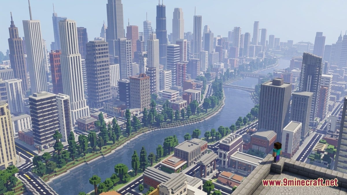
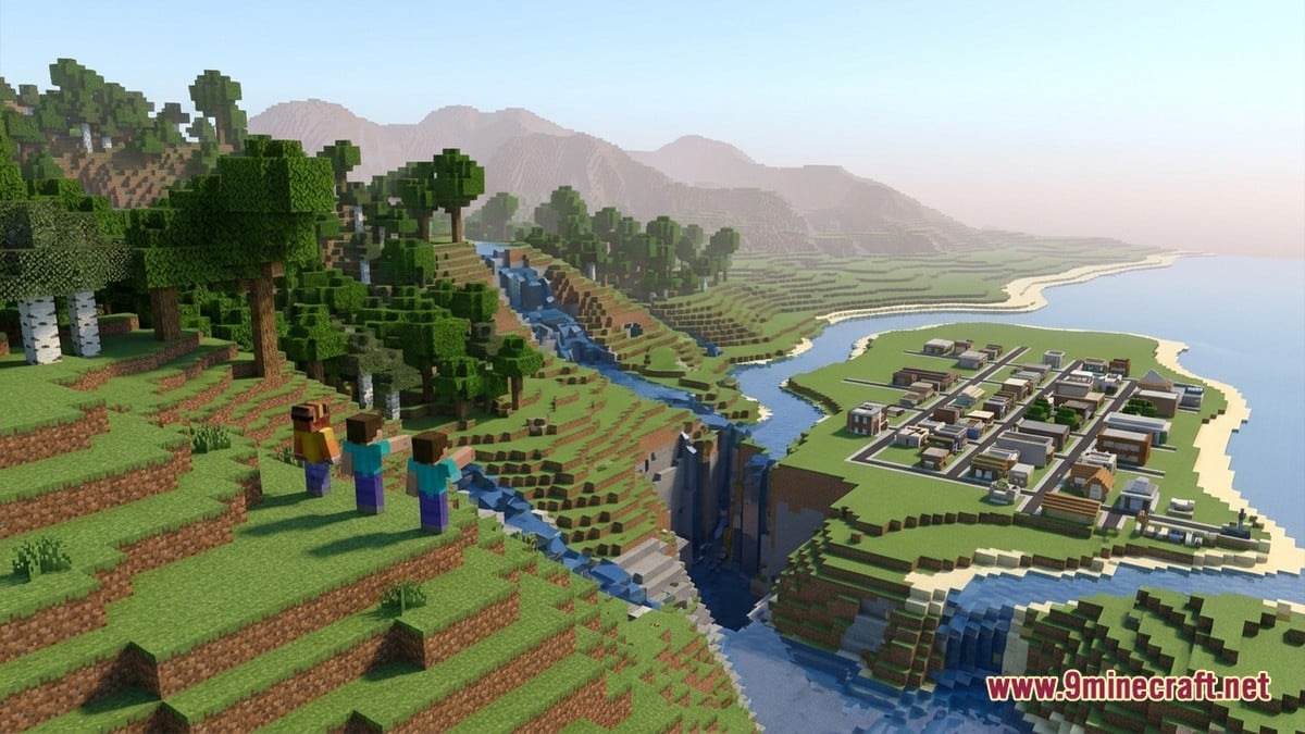
Recreating real-world geography and off-grid city streets in Minecraft has expanded from painstaking manual placement to instant, data-driven generation. While international build teams spend years measuring real street angles by hand, open-source applications like Arnis and streaming mods like Tellus now convert satellite elevation and street databases directly into playable worlds.
Automated Generation with Arnis and Tellus
According to arnismc.com and GitHub, the open-source desktop application Arnis turns real geographic coordinates into playable maps without using artificial intelligence. Instead, its deterministic algorithm pulls building footprints and roads from OpenStreetMap (OSM) via the Overpass API, combining them with AWS Terrain Tiles for elevation.
Recent updates to Arnis added traffic signs, house numbers, traced satellite water masks for cleaner coastlines, and trees that match real canopy height maps. Where OSM lacks building height data, the tool falls back on Overture datasets, and it can scale terrain down to 0.05 while sinking landscapes into the lower half of an extended build-height datapack.
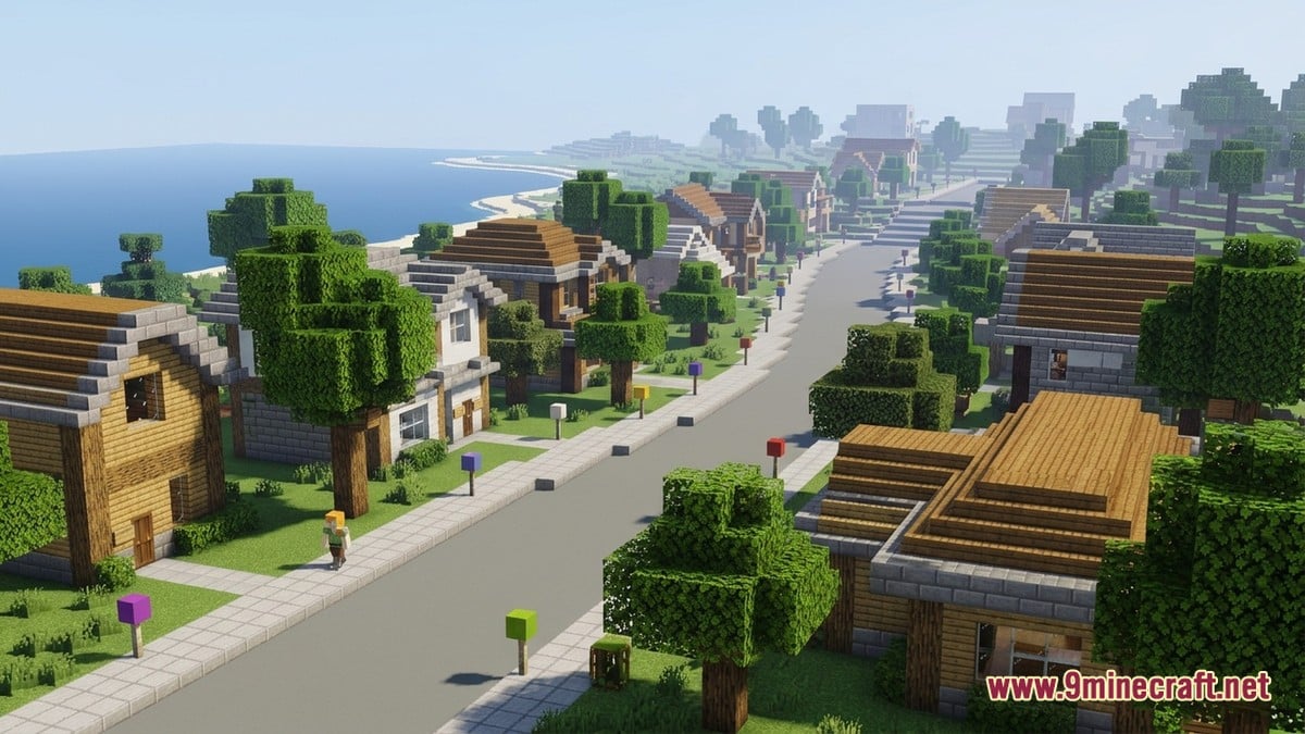
The desktop tool supports Java Edition (1.17+, with complex features targeting 1.21.4+), Bedrock Edition (.mcworld files that also work in Minecraft Education Edition), Luanti (Minetest), and experimental Hytale outputs. For mobile users or players avoiding local RAM limits, a companion browser service called MapSmith generates regions up to 500 km²—roughly eight times the size of Manhattan.
| Project / Tool | Method | Editions Supported | Primary Data Source |
|---|---|---|---|
| Arnis | Rule-based offline/local batch generation | Java, Bedrock, Education, Luanti | OpenStreetMap, AWS Terrain, Overture |
| Tellus | Real-time chunk streaming over internet | Java Edition (Modded) | Open geographic datasets (30m elevation) |
| Build The Earth | Manual off-grid building over base terrain | Java Edition (mostly 1.20+ vanilla) | OpenStreetMap (via Terra++), local photos |
| Custom Terraforming | External algorithmic sculpting & painting | Java Edition | WorldMachine nodes, DSLR photography |
For players who want a continuous planet rather than bounded regions, Modrinth details a mod called Tellus, inspired by Gegy's Terrarium. Tellus requires a constant internet connection to stream land cover, climate, and weather data into chunks in real time, featuring 30-metre global elevation accuracy. Because it operates at planetary scale, the developer strongly recommends pairing it with Distant Horizons or Voxy to render distant vistas, and notes that generative AI assisted in coding the mod.
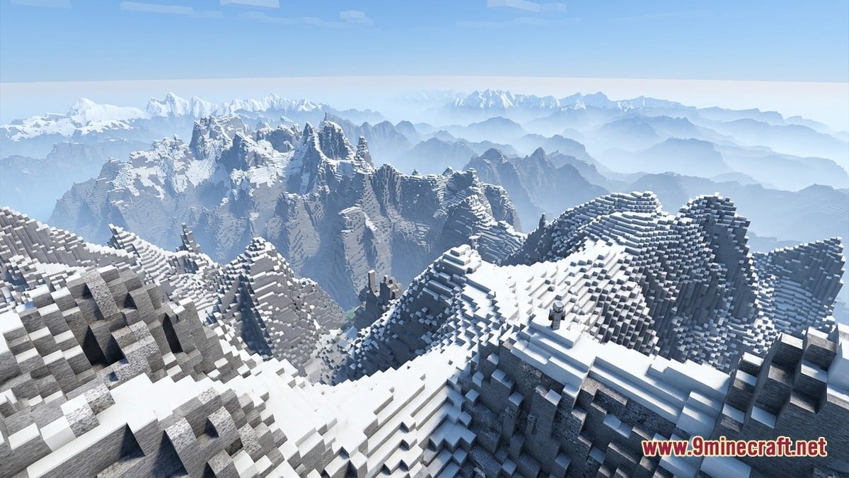
Tellus is currently built for exploration rather than long-term survival, as cave generation, ocean structures, and the Deep Dark remain works in progress. Official server support is not ready yet, meaning hosts must generate a world in singleplayer first before moving the save file to a server running the mod.
Build The Earth: Manual Off-Grid Precision
While algorithms handle bulk generation, the Build The Earth (BTE) project relies on human dedication to capture architectural nuance. Founded in March 2020 by YouTuber PippenFTS—who stepped away in 2024—the community takes advantage of a Minecraft block measuring one cubic metre to construct a 1:1 scale model of the planet, as documented by Guinness World Records and Wikipedia.
International organiser Bruno Gideon Bergheim (known as Gideon) told Guinness World Records that the project acts like a union of independent nations across roughly 60 regional Build Teams. Because real-world streets rarely line up with the game's 90-degree block grid, BTE trains volunteers in off-grid building techniques—measuring exact angles and elevations, and subjecting new builds to peer review.
Every place on Earth has someone who cares for it, and our goal is for any player to visit our server and recognise their actual home.
Bruno Gideon Bergheim, Build The Earth Organiser
To flatten a spherical planet onto a flat block grid with minimal landmass distortion, BTE abandoned the standard Mercator map in favour of a modified Dymaxion projection, which pushes the distortion into the oceans. Early on, the project relied on the Cubic Chunks mod to bypass vertical build limits and Terra++ to lay down baseline terrain. Following the expanded world height introduced in update 1.18, Wikipedia notes that most of BTE migrated to unmodded Minecraft 1.20+ by 2025, with only high-altitude regions in South America and the United States still requiring mods.
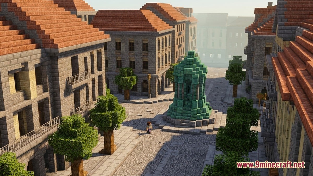
Sourcing reference data often requires fieldwork. Gideon recalled driving to remote parts of Africa to take photographs, holding Zoom calls with Pacific Island ministers to request ground-level elevation data, and watching a builder contact the Vatican City press office for reference photos. Notable completions include Daniel Tan's Taj Mahal, MrBeast and 50 builders recreating Raleigh, North Carolina, over 2,000 players building New York City landmarks, 400 players constructing Portugal's Algarve International Circuit, and the Polish town of Stawiszyn, plus regional showcases in Graz, Mexico City, Kaohsiung City, Montevideo, and Sofia.
Despite these milestones, less than 1% of the planet's surface is finished, and Gideon estimates full completion could take a century. The project already consumes hundreds of gigabytes of storage paid for by donations, and after suffering past data losses, the team now maintains strict backups—including one sent to the Moon via the non-profit VideoLAN project.
Artistic Terraforming Beyond Strict Realism
Not every real-world builder wants a strict 1:1 satellite copy. Speaking to Per Landin at Minecraft.net, veteran terraformer Consue explained how she translates her own DSLR photography from the Andes in Chile, the Atacama and Patagonian deserts, Italy, and Spain's Sierra de Guadarrama into dreamlike custom continents like Chik-Took and Star's End.
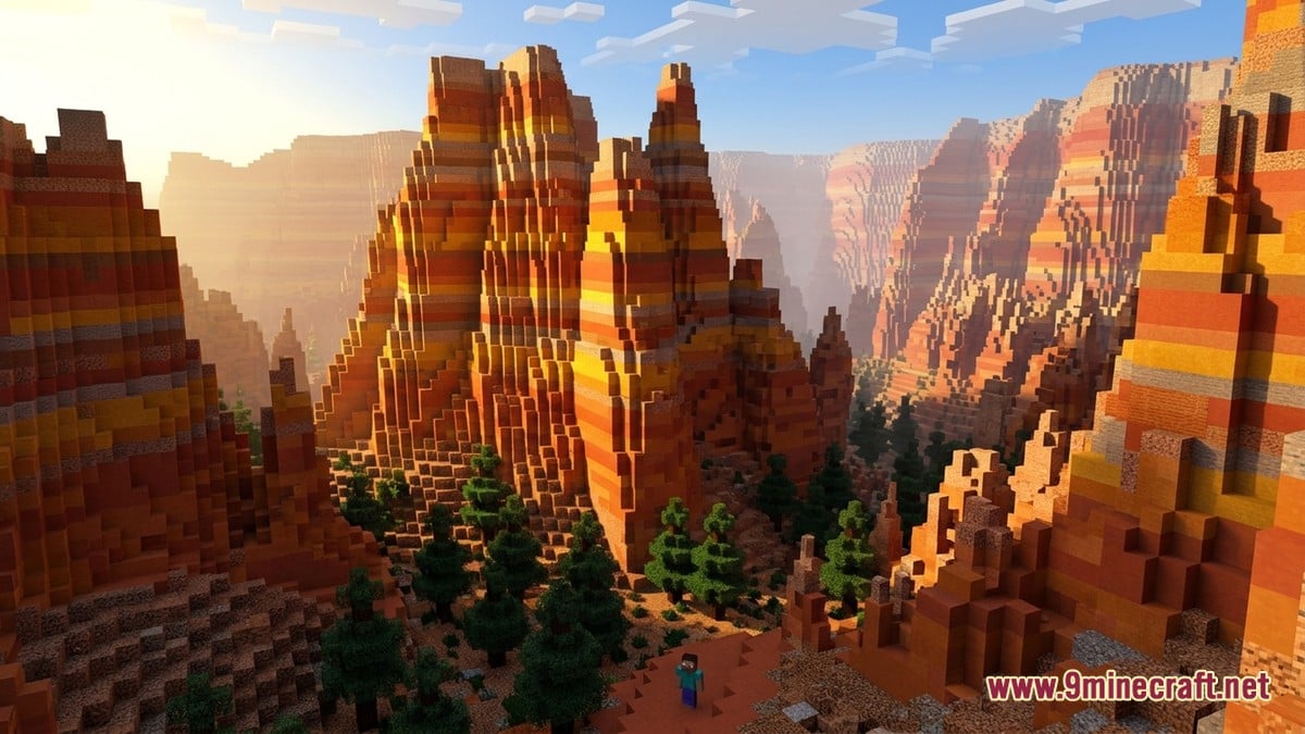
Entering the game just before patch 1.5 and discovering custom maps on the StarQuest server and the Daratisx 8k map, Consue learned to spend most of her time outside the game client. She wires algorithmic nodes together in WorldMachine to simulate natural erosion and cliffside talus, then imports those heightmaps into WorldPainter to sculpt and paint block palettes by hand.
Working within the classic 255-block vertical limit taught her that pure realism can look flat in-game. To create the illusion of massive scale when designing landscapes inspired by Monument Valley, Bryce Canyon, Norway, and Iceland, she keeps trees artificially short, places forests far back from mountain bases, and uses high-contrast block gradients to make rock features pop.
Community Reaction and How to Try It
Across community forums and video showcases, players and educators praise these tools for turning the sandbox into an interactive geography classroom, with Arnis already cited in the Floodcraft K-12 flood-mitigation study. However, players testing automated generators frequently point out that rural towns often look barren whenever local OpenStreetMap contributors have left out building heights or rural footpaths. Meanwhile, newcomers to manual projects like BTE admit that learning to build diagonal walls and roofs off the standard grid has a steep learning curve, and automated tools require hefty computer memory to process dense city centres.
Which method of recreating the real world in Minecraft appeals to you most?
Tap an option to vote